It is 65 beautiful kilometers from Twizel to Mt. Cook village. Therefore make reservations in Twizel beforehand, all the lodgings were full when we came. We made our reservations in 3 months ago and still could find only a single night in different places. Both had their pluses and minuses, the Holiday park huts had very thin walls and German young guys are very big and loud speakers :-). But both places were bearable. In totality you don’t feel like you are in New Zealand while in tourist areas- ᅡᅠChinese people are in such abundance, the you feel like in China with some Europeans travelling around. For German youth to travel to NZ, as I figured out while cooking with them in a common kitchen, is a piece of cake. they finish school at 18, work for only 4 months and make enough money to travel extensively in NZ for 6 weeks! What a wonderful country Germany is! I guess lots of Arabs figured that out before me, without going to NZ first! :-).
There are several hikes in the valleys with the view of Mt. Cook. It is the highest mountain in New Zealand and has three peaks, the highest is 3724 m. On the way you drive past the length of Lake Pukaki with its unusual color: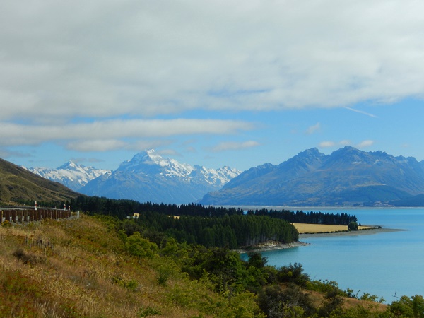
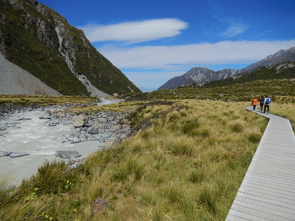
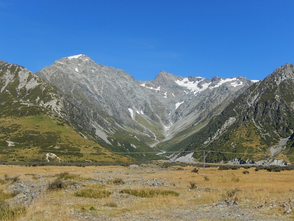 Then you reach Hookers Valley, with its name funny to Americans. here the trail to Hookers Glacier starts, it is 5km long, 3h return, 90 m altitude gain – which a an easy trail, but seems long:
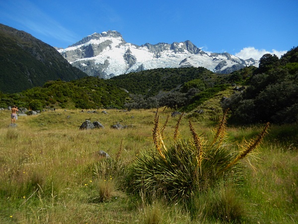
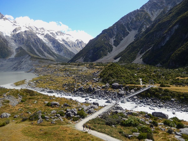
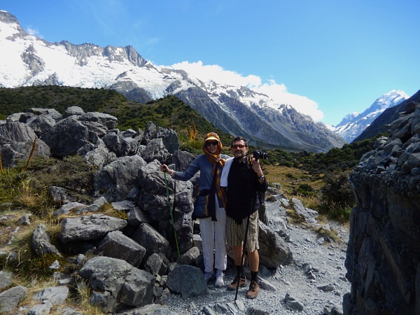
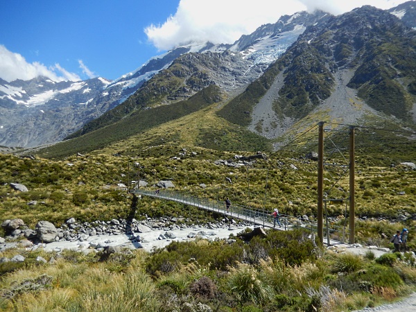
 The trail is like a highway – all maintained and done and with steps and boardwalks in several areas. The strange thing- ᅡᅠit is a National Park, but they don’t charge any fee for entering it- ᅡᅠWhy?..There are three hanging bridges you have to cross over the mountain river far down, scary for those who are afraid of earthquakes and heights:
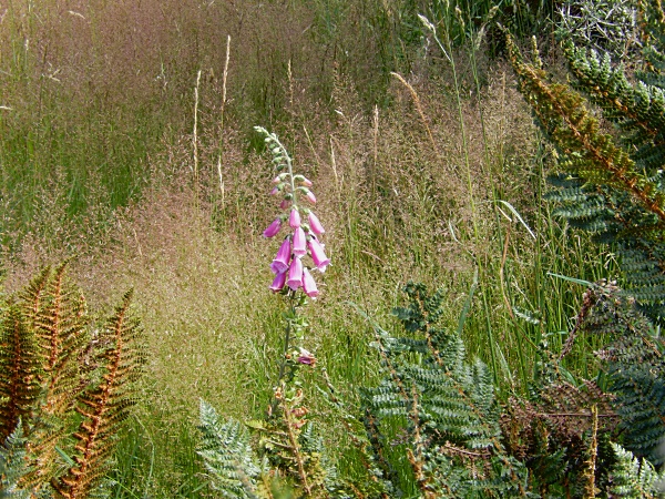
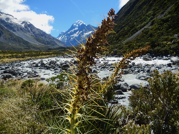
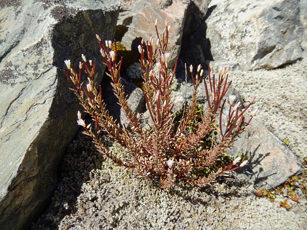
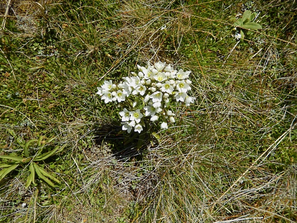
 A German woman-specialist of plants said to me that this plant is called Digitalis and is used to regulate heart rhythm! But very scarce flowers were blooming, not like in Utah mountains at this stage of the summer:
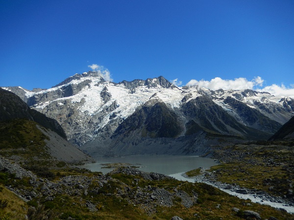
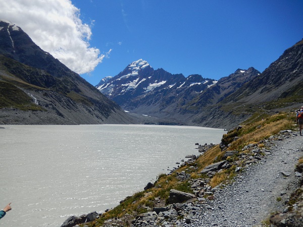
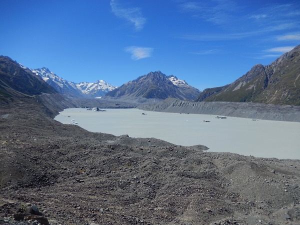
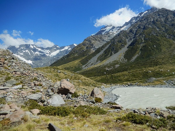 Lakes that form in the valley higher are kind of milky grey – far from the bluish color below. Maybe ᅡᅠthe dirt particles filter while roaring down the stream and the water clears up. The glacier is not beautiful at all – just black with some blue by the lake surface, on the other end of the lake – ᅡᅠyou can’t walk to it, and here in the picture a person’t hand is pointing towards it with Mt. Cook on top:
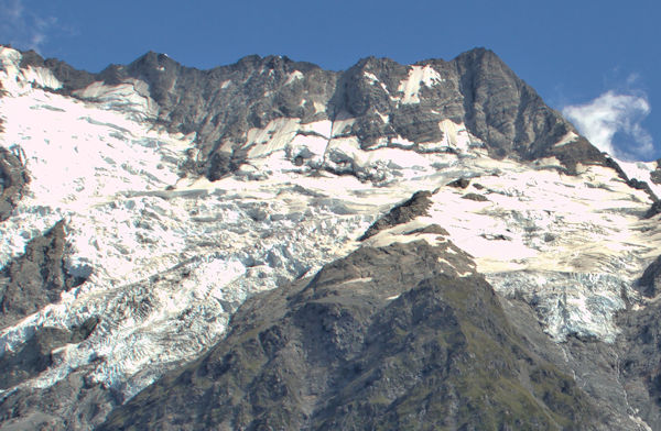
 Here are glaciers that were on the slopes of the mountains in front of us from closer by, they look much more attractive:
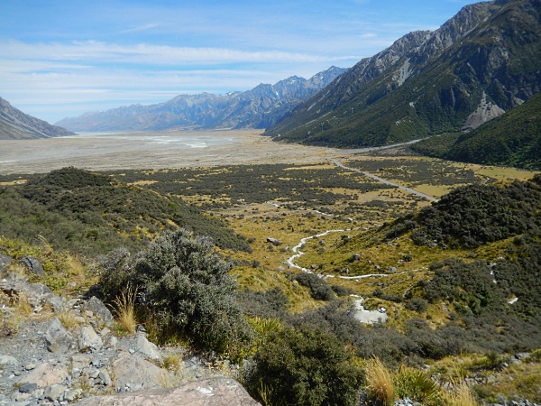
 After this trail I felt very tired, the sun was strong and the wind appeared. me, like all the Chinese were covering our faces with scarfs and hats. Andrei found a hat blown down from some tiny Chinese man while on a bridge to the bottom of the river bed – so being young and brave and ᅡᅠstrong he climbed down and here he has a hat for the rest of the trip :-). A funny looking hat, but it protects from sun. We were willing to give it to owner- ᅡᅠbut nobody asked for it :-). So then we drove to another Tasman valley – and climbed a mountain there (15 min climbing fast on good stairs up)…for the view of the valley to one side and Tasman lake and glacier to another (there are some pieces of glacier ᅡᅠseen in the lake):
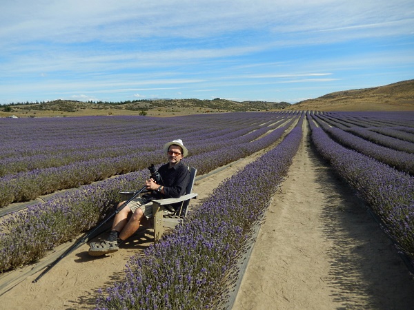
 On the way back there was a lavender field, like in Provance 🙂 and a place for people to pose and take pictures: